|
|
2 vuotta sitten | |
|---|---|---|
| .. | ||
| potholes | 2 vuotta sitten | |
| README.md | 2 vuotta sitten | |
| exif.ipynb | 2 vuotta sitten | |
| image-original.JPG | 2 vuotta sitten | |
| map.py | 2 vuotta sitten | |
README.md
Using Image EXIF Data to Build Pothole Visualizer Application
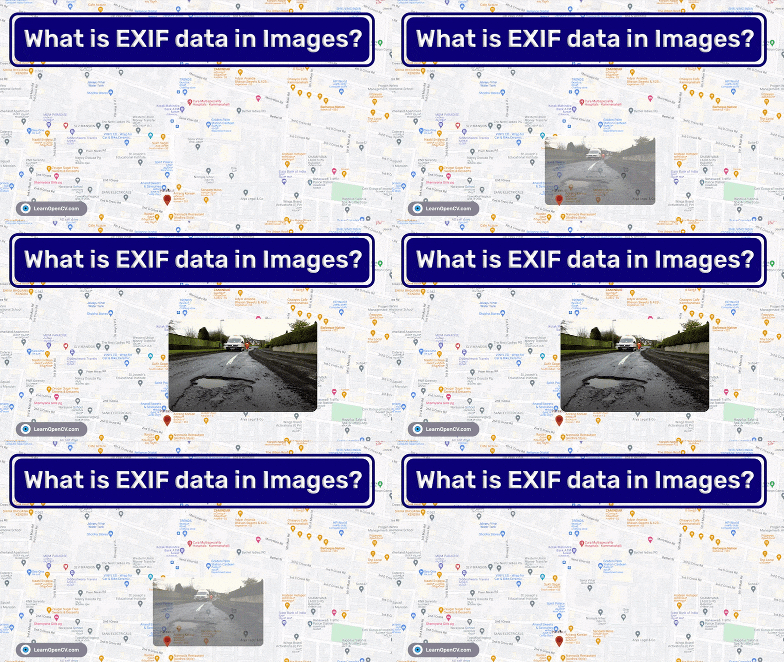
EXIF stands for Exchangeable Image File Format. It contains metadata of images and audio. It is used in variety of applications. In this repository, we are including the code to explain to how EXIF can be used in Computer Vision applications. The objective of the project is to visualize detected potholes on Google Maps. More information is available in the accompanying blog post What is EXIF Data in Images?.
AI Courses by OpenCV
Want to become an expert in AI? AI Courses by OpenCV is a great place to start.


